The Norwegian Petroleum Directorate (NPD) has given contracts to the companies Enviros and Fugro to map the shallowest strata beneath the seabed with the goal of selecting places most suitable for the placement of wind turbines.
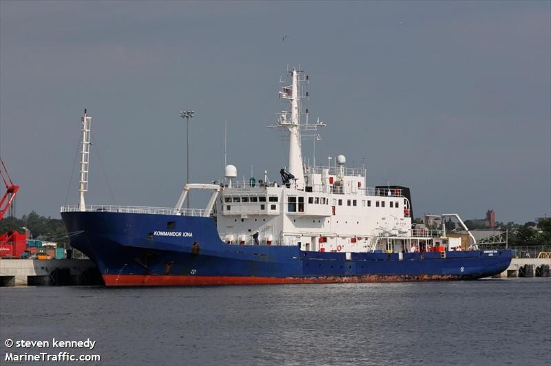
Enviros has been given the contract to map Utsira Nord, while Fugro will be mapping the Srlige Nordsj II region. The Kommandor Iona and the Fugro Searcher are the corresponding ships that will be employed.
According to NPD, the companies will collect seven distinct measures.
“MBES (multibeam echosounder) supplies critical data sets for bathymetry, acoustic backscatter and water column data. We will also gather 2D high-resolution seismic, sub-bottom profiler echo-sounder (SBP), side-scanning sonar (SSS), and magnetometer data,” stated Lars Jensen, the NPD geophysicist in charge of the project.
Read more about the project here.