Climate, Environemental & Metocean Solutions
Overview
Enviros combines environmental surveys, metocean measurements and climate analysis to support project planning and operations across offshore, nearshore and onshore environments. These services establish baseline conditions, assess environmental risks and inform decisions throughout the project lifecycle.
Our CEMS
Services
Environmental surveys, metocean monitoring and climate assessments provide insights into site conditions and potential risks, supporting project design, operational planning and long-term resilience.
Environmental Baseline Surveys
Establishing environmental conditions before development.
Metocean Monitoring
Measuring wind, waves, currents and tides.
Climate & Environmental Risk
Assessing changing conditions and long-term project risks.
Environmental Assessment Support
Informing impact assessments and environmental reporting.Our Approach
Survey Planning
Define study objectives, survey locations and monitoring requirements around the project and environment.
Field Data Collection
Collect environmental and metocean data through field surveys and monitoring programmes.
Data Processing & Analysis
Evaluate measurements and longer-term records to understand conditions, trends and potential risks.
Findings & Reporting
Present findings to support design, operational planning and environmental assessments.
What We Use
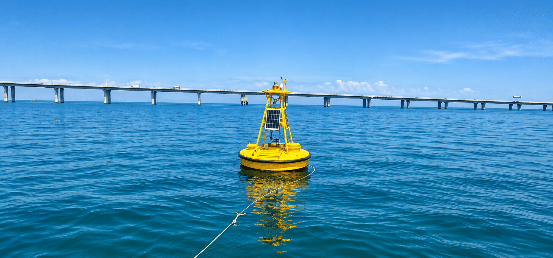
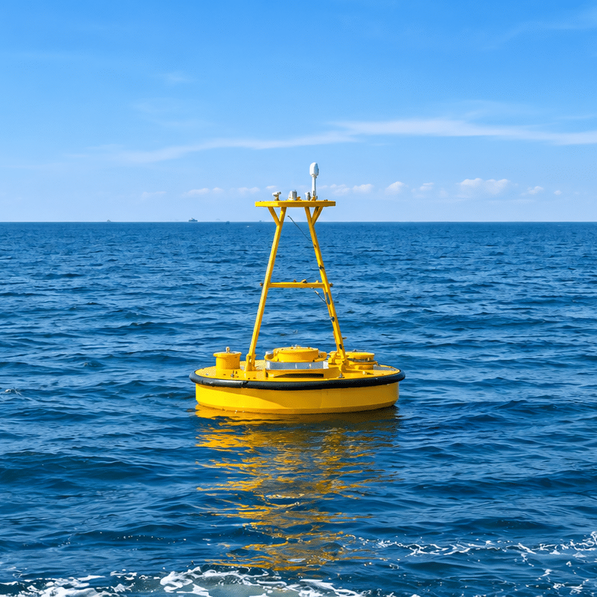
Monitoring buoys, oceanographic instruments and environmental sensors capture conditions above and below the water surface. Floating LiDAR technology supports offshore wind measurements, complementing wave and current data for project assessment.
Partner with Enviros Group
From project planning to execution, Enviros is your trusted partner for geoscience, environmental, and consultancy solutions. Let’s discuss how we can support your next project.