
Geophysical Survey
Overview
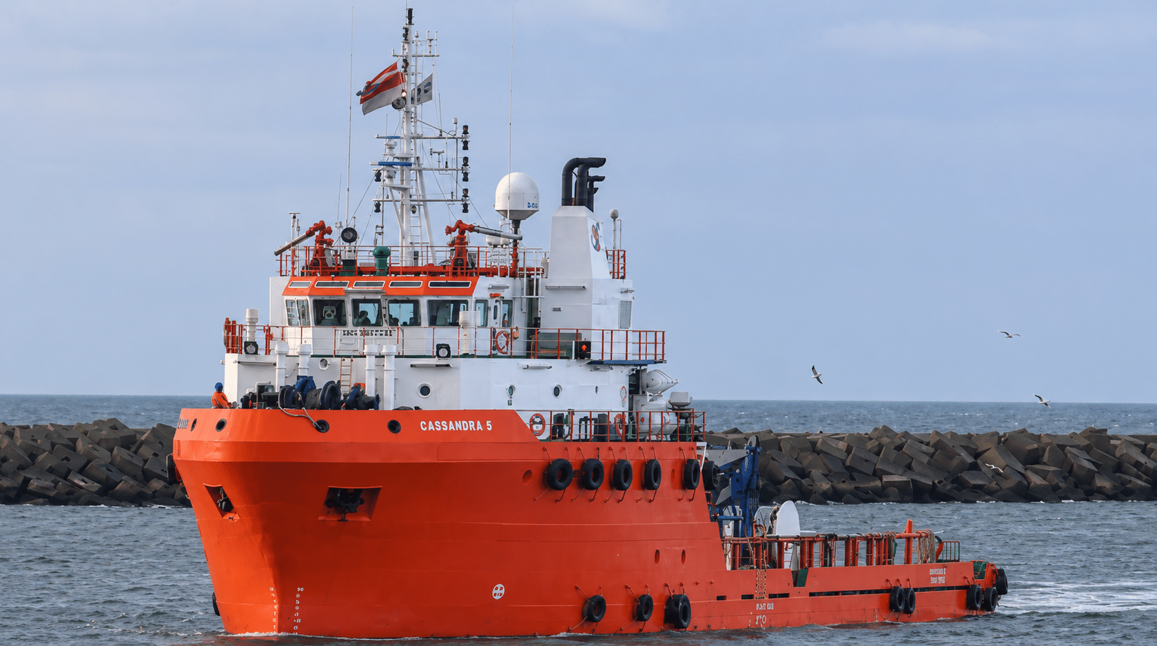
Enviros carries out geophysical surveys from shallow coastal waters to ultra deepwater solutions. By combining seabed mapping with shallow subsurface imaging, these surveys show how conditions vary across a site and where features such as steep slopes, obstructions or buried channels that may affect design and installation.
Our Geophysical Survey Services
From individual offshore sites to long cable and pipeline routes, our surveys map seabed features and reveal the geology beneath them. The findings help identify potential hazards and guide decisions on where and how to install subsea infrastructure.
Seabed Mapping
Map water depths, slopes and seabed features to guide the placement of subsea infrastructure.
Shallow Subsurface Imaging
Trace sediment layers and buried channels to understand how ground conditions vary beneath the seabed.
Geohazard Assessment
Identify signs of seabed instability and shallow gas before selecting an offshore site.
Cable & Pipeline Route Surveys
Compare potential routes and locate obstructions or difficult burial conditions along each corridor.
Our Approach
Survey Planning
Project objectives, water depth and existing site data guide the selection of sensors, survey lines and coverage.
Field Data Collection
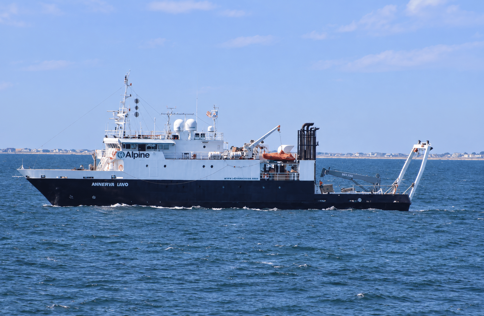
Survey platforms collect positioning, sonar and subsurface data. Quality checks during acquisition help identify gaps while the vessel is still on site.
Data Processing & Analysis
Positioning and sensor records are checked and aligned to produce seabed maps, sonar imagery and subsurface profiles.
Findings & Reporting
The final charts and reports identify significant features, explain their implications and highlight areas that warrant further investigation.
What We Use
Partner with Enviros Group
From project planning to execution, Enviros is your trusted partner for geoscience, environmental, and consultancy solutions. Let’s discuss how we can support your next project.