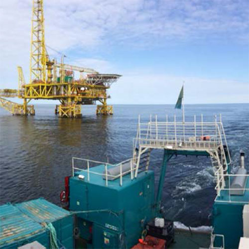
Our survey services for seafloor site investigations provide high quality seismic data straight from the seabed. Data may be used for location approaching, reservoir characterisation, monitoring of production impact, detection of potential geohazards and project management decision.
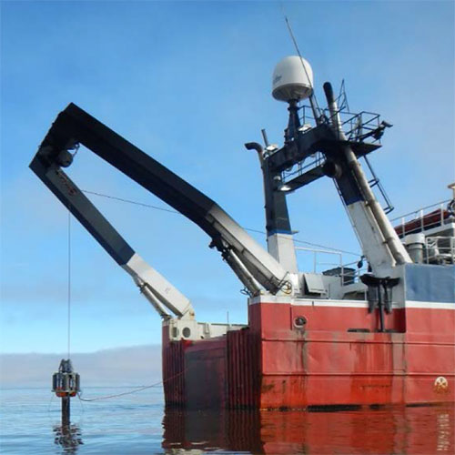
Seabed high resolution scanning allows irregularities and relevant features of the seafloor to be properly identified. Data is of great value for area mapping, avoidance areas, vessel positioning and identification of existing structures, debris, pipelines and other subsea hazards.
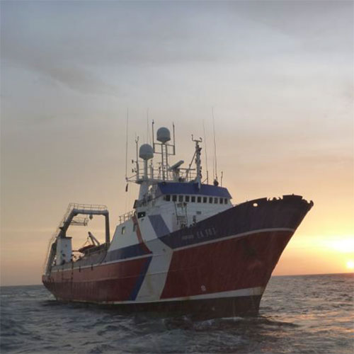
Enviros has been undertaking hydrographic surveys to IHO S-44 standard in Belgium, The Netherlands and worldwide. Survey methods and equipment are continuously improving: Enviros upgrades and innovates its survey spread to meet changing demands of the hydrographic stakeholders, ranging from nearshore shallow water to full ocean depth.
Applications for hydrography include:
- Coastal surveys;
- Pre and post-dredging surveys;
- Port and coastal developments;
- Coastal zone protection and management;
- Environmental services (assessments and modelling);
- Data acquisition and monitoring surveys;
- ROV services;
- AUV services;
- UAV services;
- Navigation charting and nautical bottom depth survey;
- Offshore surveys for oil & gas;
- Cable route surveys;
- Services for renewable and Blue Energy;
- UNCLOS and EEZ mapping.