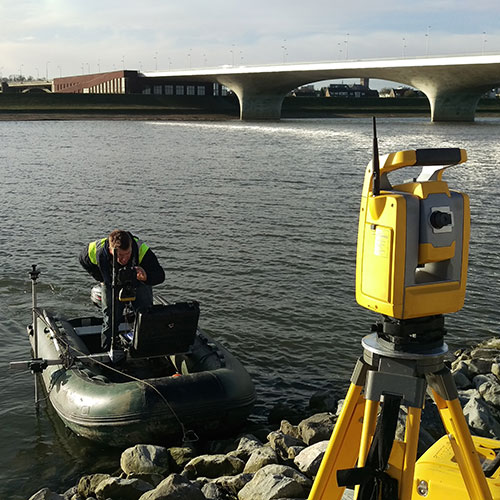
On terrestrial and geodetic applications, the combination of our experience, innovative technology (such as laser scanning, drones aerial mapping and digital terrain modelling), precise measurements (mobile mapping systems and precise electronic instruments) and 3D mathematical modelling enables us to provide reliable and cost-effective measuring solutions for various industries:
- Petroleum (Pipe routes and refineries);
- Engineering;
- Ship building;
- Mining.
Our complementary services include:
- 3D Laser scanning / Point cloud;
- Monitoring surveys;
- High-precision metrology services;
- Onshore and offshore plant surveys;
- Alignment surveys;
- Remote measurement surveys;
- Symmetry surveys;
- Photogrammetry & modelling;
- Dimensional control;
- Survey vessel calibration and verification surveys;
- Geodetic and topographic surveys;
- Ground surveys;
- 3D modelling surveys.
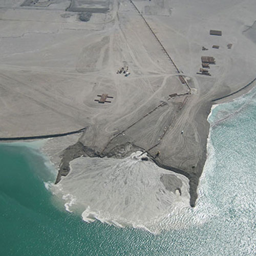
We also combine industry expertise and information management tools to support the planning, design, construction, management and maintenance of water and oil & gas land-based pipelines. Our expertise includes:
- Site characterisation for feasibility;
- Engineering and design studies;
- Topographic and geodetic surveying;
- Geohazards risk assessment;
- Site evaluation, selection, routing and construction support;
- Environmental impact assessments;
- As-built modelling to support inspection.