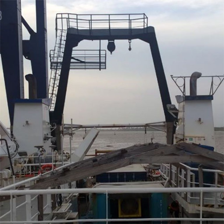
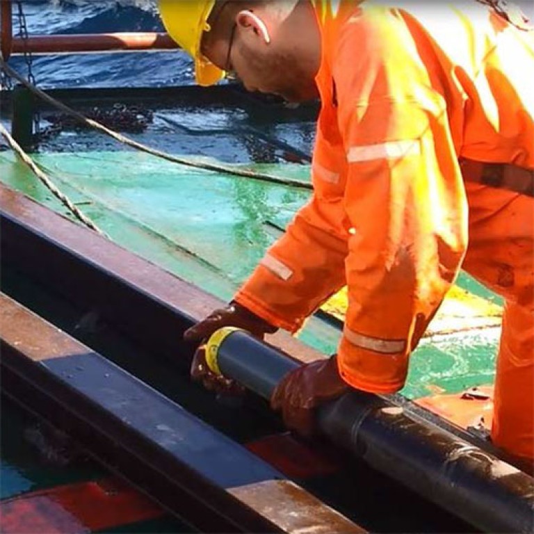
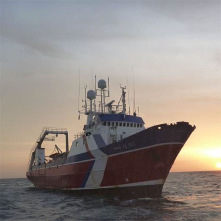
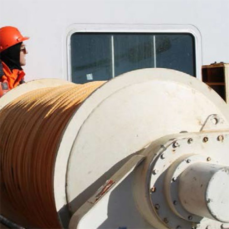
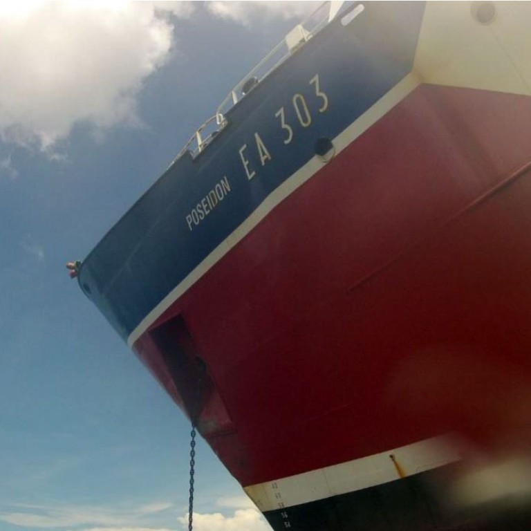
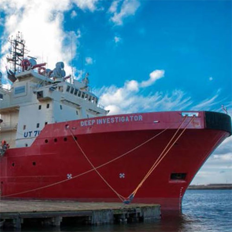
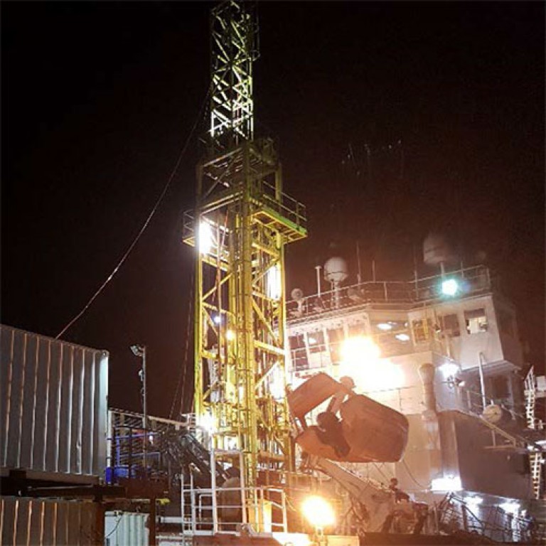
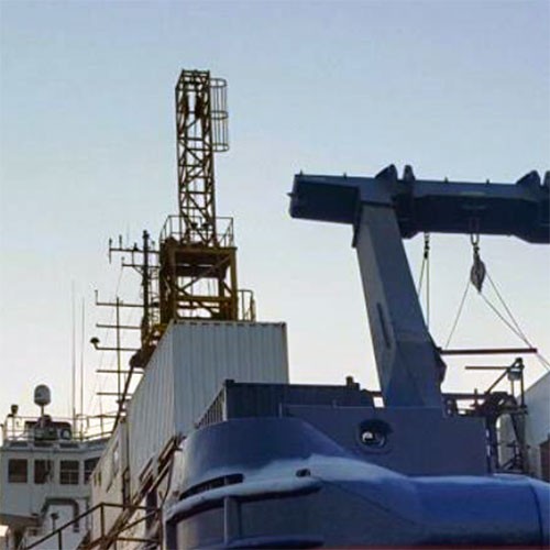
Enviros was contracted by Black Sea Oil and Gas to perform an integrated environmental, geophysical and geotechnical site investigation in Black Sea, Romania. Water depths range from <10m (along the nearshore route survey approaches) to 90m at the two offshore site survey zones. Multibeam echosounder, subbottom profiler, 2D high-resolution data and water column data was acquired over two separate site survey zones and a proposed pipeline route. Survey data from a total of 1,500km lines were acquired from Enviros’s integrated geophysical and site survey vessel MV Ocean Spirit.
The objectives of the geophysical and bathymetry survey was to accurately determine water depths, seabed and shallow soils, identify any seabed and sub-seabed features (ferrous or non-ferrous) that may impede the proposed developments and to identify any potential hazards applicable to future operations. The acquisition of geophysical data was also utilised to perform a shallow gas assessment and risk analysis prior to geotechnical drilling operations.
Project Organisation
Enviros were responsible for performance of all pre-mobilisation, mobilisation, fieldwork, demobilisation and associated data processing, interpretation and reporting. A senior Enviros Project Manager with >15 years relevant offshore site survey / investigation experience was appointed on contract award and responsible for each project phase and Client liaisons throughout. The Enviros Project Manager was appointed an experienced Enviros Offshore Project Manager for all fieldwork operations.
The Project Manager had the role of managing day-to-day issues relating to the project, based onshore in the Enviros head office based in United Kingdom. The Offshore Project Manager was responsible to ensuring that the project is completed in accordance with Enviros procedures and to Client specifications. Responsibilities include, but not limited to being the immediate point of contact for any Offshore Client Representatives, ensuring project QHSSE procedures are adhered to during all offshore operations; this is to include mobilisation, field calibrations and checks, project tasks, post project calibration checks and demobilisation; and the production or approval of all necessary field reporting.